Hartington Area (1)
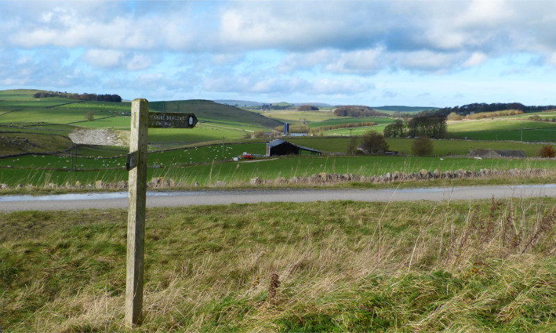
Hartington lies to the south of Buxton, and is surrounded by peaks and valleys. This is a view to the northwest
from Parsley Hay, the site of a former railway junction where the Cromford and High Peak Railway was joined by a branch line from Ashbourne.
The lines are long closed and have been converted for use by walkers, cyclists and horse riders: the Cromford
and High Peak line is now known as the High Peak Trail, and the Ashbourne branch as the Tissington Trail.
For a zoomed-in view, see the next picture.
Picture taken: November 2014
Page last updated: 4 June 2021

Home
> Peak District
> Hartington Area (1)
Previous
Next